An aerial survey gathers data from above. It uses planes, drones. Or satellites. It takes clear pictures, LiDAR scans. Or color data. This helps map land, watch nature. Or film without touching the ground.
Category
Geospatial data collection
Used for
Mapping, environmental studies, film production
Common confusion
Often mistaken for aerial cinematography, which focuses on visuals rather than data
Also called
Aerial mapping, Drone survey
Often discussed with
Drone Operator & Aerial filming, Film permit Application service
Aerial survey refers to the process of gathering information about the Earth's surface or specific areas from an airborne platform. This can include drones, helicopters, airplanes. Or satellites equipped with cameras, sensors. Or scanning devices. Unlike ground-based surveys, aerial surveys cover large areas quickly and provide data that would be difficult or impossible to collect from the surface. The technique is widely used in industries like agriculture, archaeology, environmental science. And film production.
Related glossary terms: Drone certification, Drone flight plan, Aerial cinematography.
The data collected during an aerial survey can take many forms, including high-resolution photographs, thermal images, LiDAR (Light Detection and Ranging) scans. Or multispectral imagery. Each type serves a different purpose: photographs are useful for visual documentation, LiDAR creates 3D models of terrain. And multispectral images help analyze vegetation health or water quality. The choice of technology depends on the project's goals and the level of detail required.
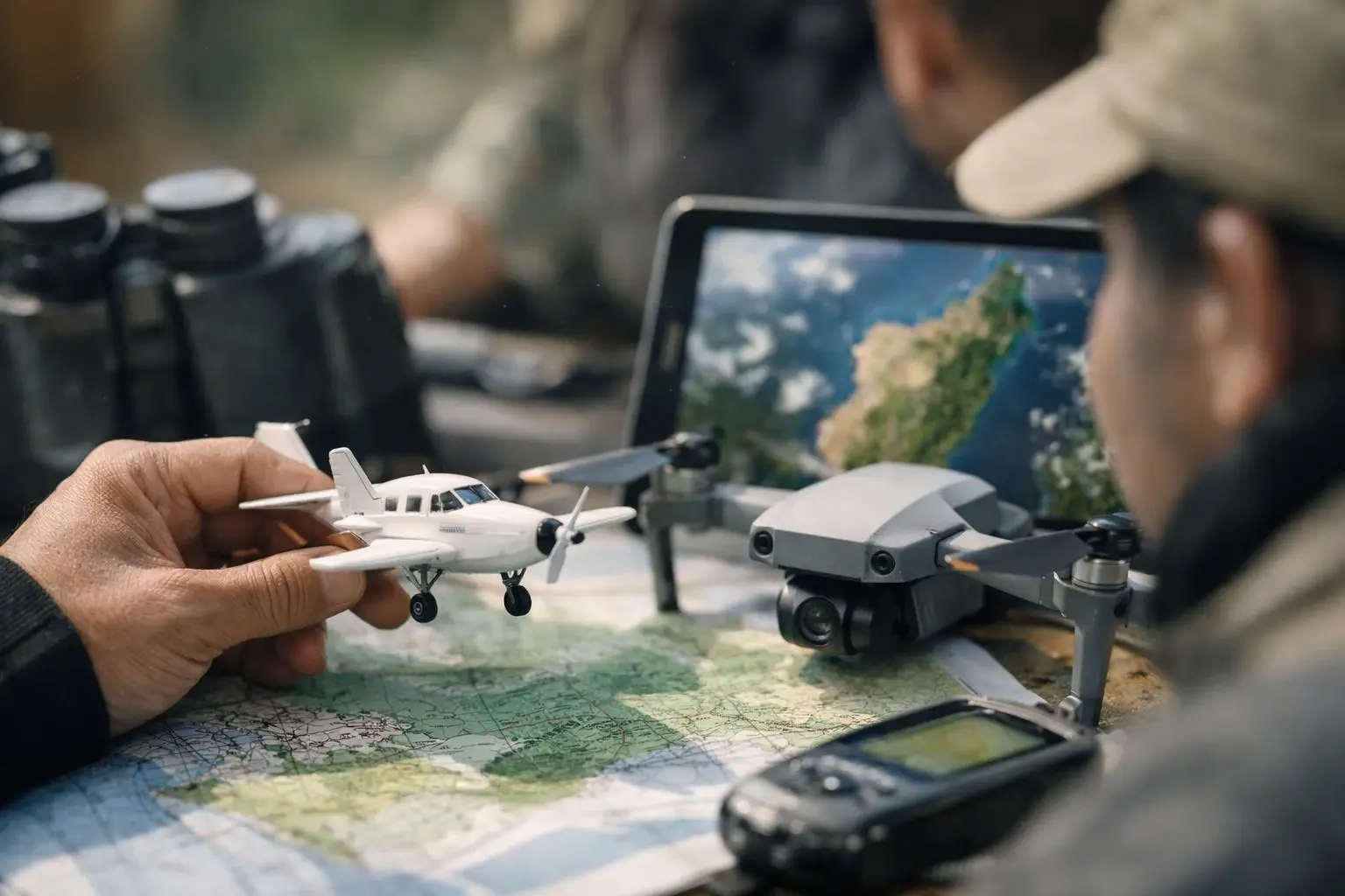
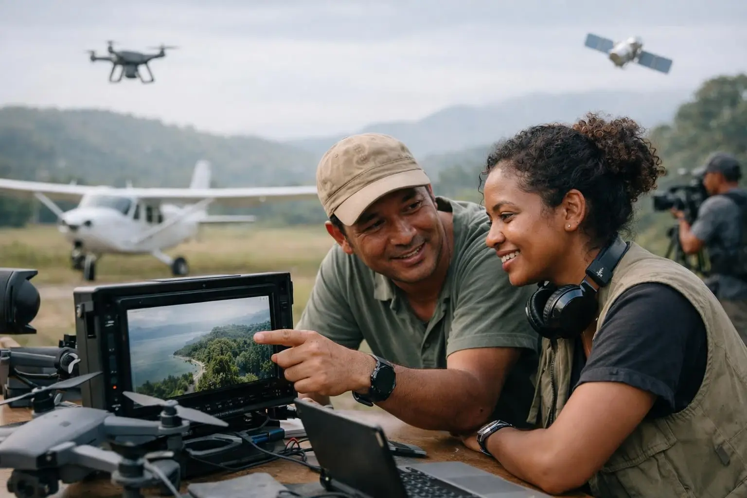
Aerial surveys typically begin with planning, including defining the survey area, selecting the right equipment. And obtaining necessary permits. For drone-based surveys, operators must follow local regulations, such as altitude limits, no-fly zones. And certification requirements. Once in the air, the aircraft or drone follows a pre-programmed flight path to ensure consistent coverage. Sensors or cameras capture data at set intervals, which is later processed using specialized software to create maps, models. Or reports.
The processing stage is critical to turning raw data into usable information. For example, photogrammetry software stitches together hundreds of overlapping images to create a single, smooth map. LiDAR data is processed to generate 3D models that reveal elevation changes, vegetation density. Or even hidden structures beneath forest canopies. The final output can range from simple image mosaics to complex analytical reports, depending on the project's needs.
Aerial surveys offer several advantages over traditional ground-based methods. They cover large areas in a fraction of the time, reducing labor costs and minimizing environmental disruption. For industries like film production, aerial surveys provide unique perspectives that ground crews can't achieve, such as sweeping scene shots or dynamic action sequences. In environmental science, aerial surveys help monitor deforestation, track wildlife populations. Or assess disaster damage without disturbing sensitive ecosystems.
Many projects start with Beyond efficiency, aerial surveys improve accuracy and safety. For example, LiDAR can detect subtle changes in terrain that might indicate landslide risks. While thermal imaging can locate heat leaks in buildings or identify wildlife in dense forests. These capabilities make aerial surveys invaluable for decision-making in fields like urban planning, disaster response. And natural resource management.
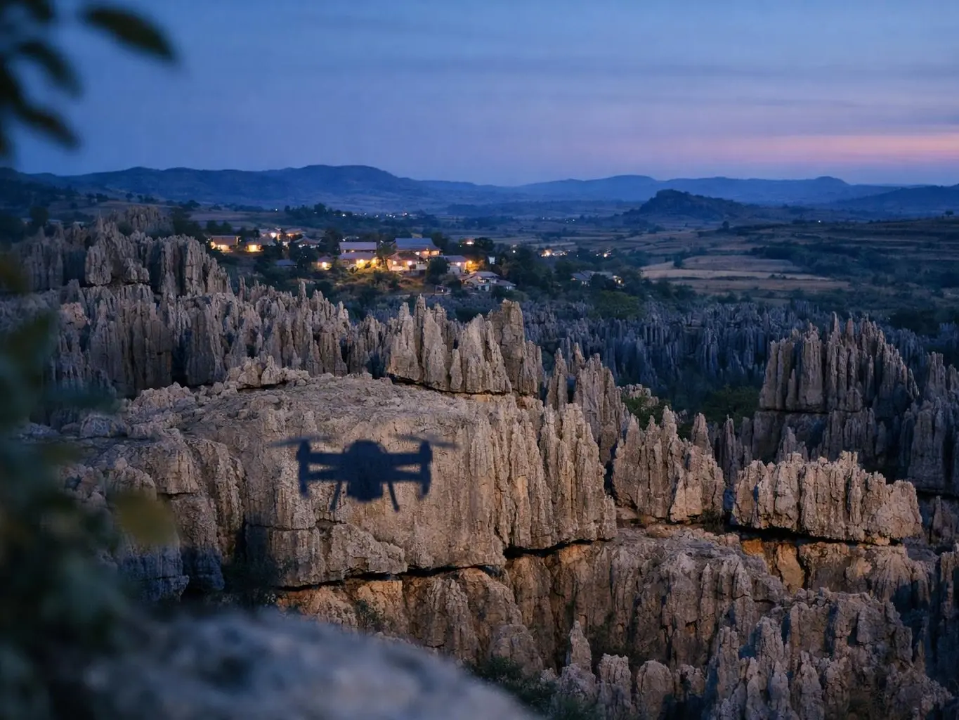
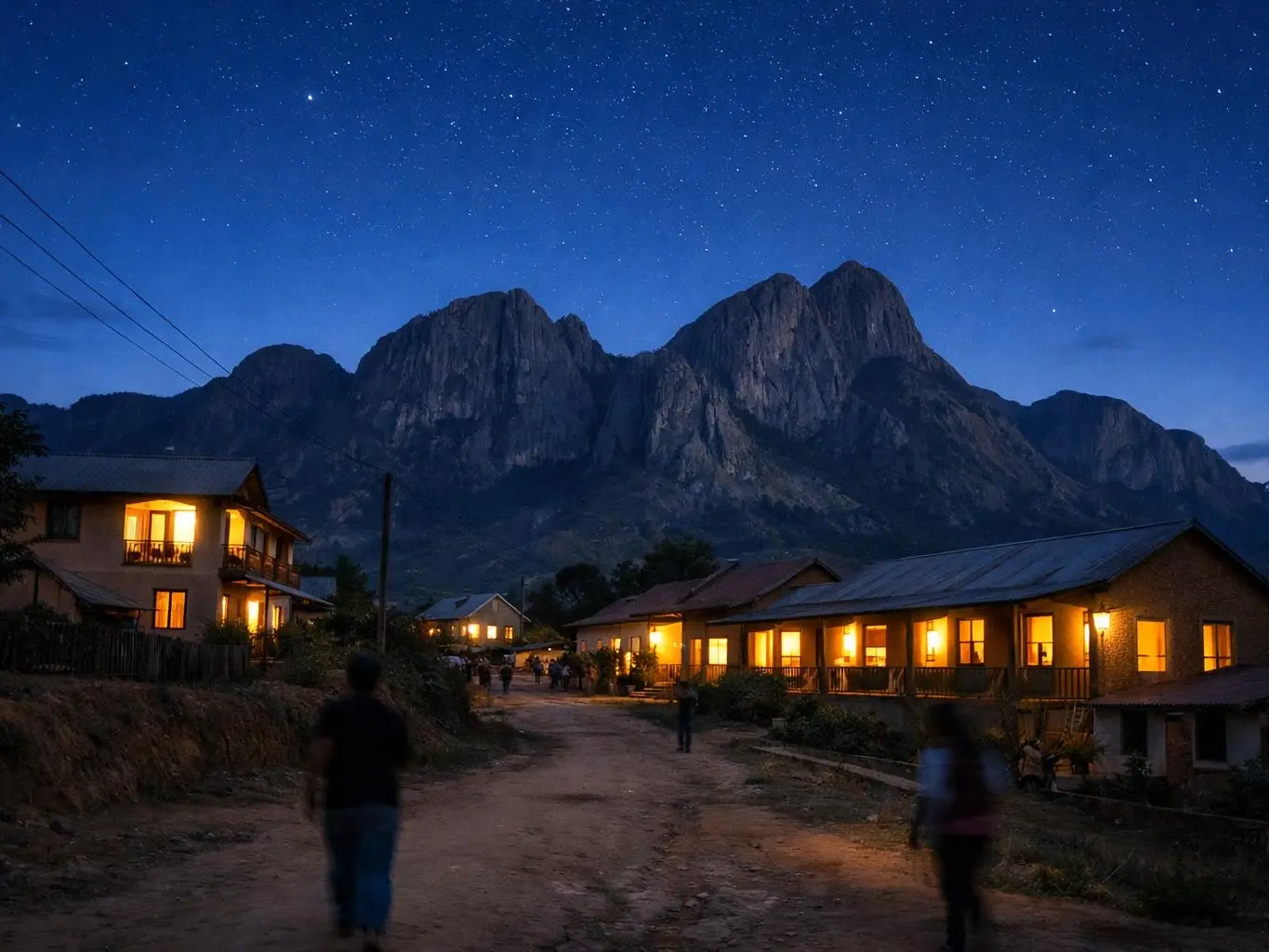
Aerial surveys are particularly important in situations where ground access is limited, dangerous. Or impractical. For instance, after a natural disaster like a cyclone or flood, aerial surveys can quickly assess damage across large areas without putting rescue teams at risk. In film production, aerial surveys are essential for capturing scenes in remote or rugged locations, such as Madagascar's unique landscapes, where ground-based filming would be logistically challenging.
they're also critical for compliance and planning. Many countries require environmental impact assessments before approving construction or mining projects. And aerial surveys provide the data needed for these evaluations. And filmmakers often use aerial surveys to scout locations, plan shots. And ensure their production adheres to local regulations, such as drone flight restrictions or protected area permits.
Aerial cinematography focuses on capturing visually compelling footage for films or videos. While aerial survey collects data for mapping, analysis. Or monitoring.
Satellite imagery covers larger areas but with lower resolution and less flexibility than aerial surveys, which use drones or aircraft for detailed, localized data.
Aerial surveys are not just about technology—they require careful planning to balance data quality, cost. And regulatory compliance. In sensitive environments like Madagascar, choosing the right altitude, flight path.
A film team mapped lemurs in Madagascar's rainforests. Drones with heat cameras flew over thick trees. They took pictures of lemur nests without bothering the animals. The data helped track lemur numbers and plan protection.
Drone certification is a legal check. It shows a pilot can fly safely. Pilots take tests on rules and skills. They learn how to handle emergencies. This keeps people and places safe.
A drone flight plan is a set path a drone flies. It has spots to go, how high, how fast. And where the camera points. It also has safety checks. This makes sure flights are safe and follow laws. It helps pilots miss things in the way and use battery well.
Aerial cinematography is the practice of capturing moving images from elevated perspectives using aircraft, drones. Or other airborne platforms. It involves specialized cameras, stabilization systems. And skilled operators to film scenes that ground-based equipment can't reach, such as sweeping landscapes, dynamic action sequences. Or large-scale events. This technique enhances visual storytelling by providing unique angles and immersive views.
Environmental impact assessment is a formal process used to identify, predict. And evaluate the potential environmental effects of a proposed project before decisions are made. It examines factors like biodiversity, water quality, air pollution.
Film permit is film permits are official documents issued by government authorities that grant legal permission to film crews to conduct production activities in specific public or private locations. They ensure compliance with local laws, protect locations from unauthorized use. And outline conditions such as filming hours, equipment restrictions.
PRO FIXERS MADAGASCAR
Contact PRO FIXERS MADAGASCAR for practical guidance on Aerial survey and related film production madagascar work in Madagascar.